| TITLE (to click on) | File name | Date |
| Map of Northern Canada, logistic support, Resolute Bay and Eureka | |
|
|
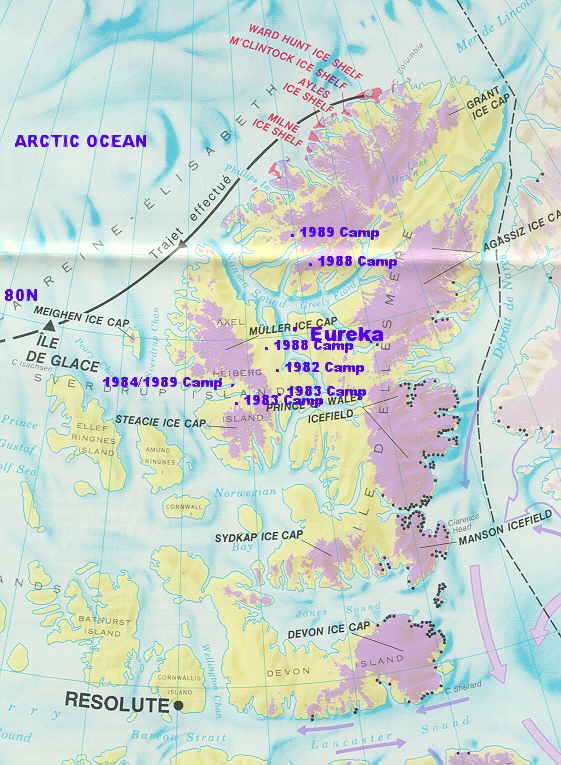
Location map of Ellesmere and Axel Heiberg Island, edge of the Arctic Ocean,
West of Northern Greenland.
Eureka, centre of map, is the weather station with the main
landing strip and supply base. | arcmap1.jpg |
July 1982 |
|
Polar Continental Shelf Project (part Energy, Mines and Resources, Canada) buildings in
Resolute Bay and Tuktoyaktok, North West Territories. With Twin Otter and Bell 206. | arcmap2.jpg |
July 1982 |
|
Resolute Bay, the Innuit village. With a view over the Lancaster Sound. | arctic04.jpg |
July 1982 |
|
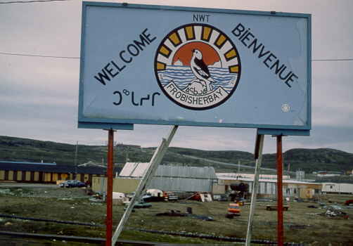
Frobisher Bay or Iqualuit town sign at the Airport, Baffin Island. Also in Innuit language. | arctic04.jpg |
July 1982 |
|
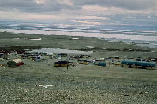
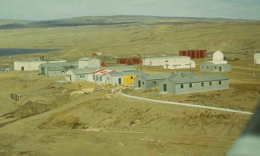
Eureka weather station late summer on Central-East Ellesmere Island,
dusty and dry area after a hot (8 Celsius) summer. | arctic07.jpg | July 1982 |
|
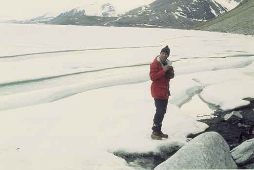
Eureka weather station in July, sea ice breaking up. | arctic08.jpg |
July 1982 |
|
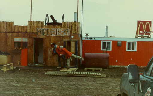
Eureka weather station with army barak and MacDonald sign at the
run way. Martin and Jean after 2 months camping in the wild. | arctic09.jpg |
August 1983 |
|
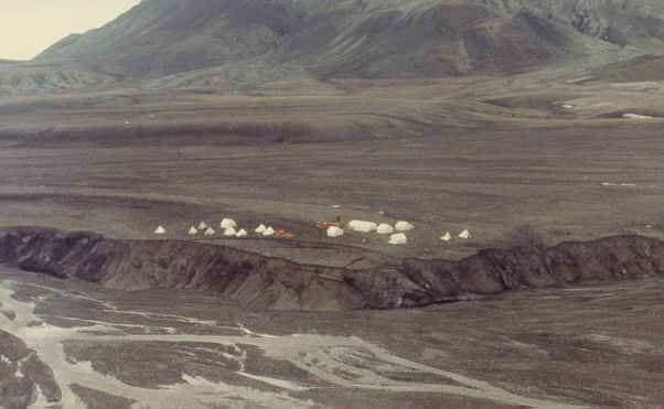
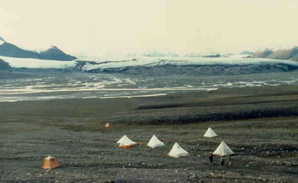
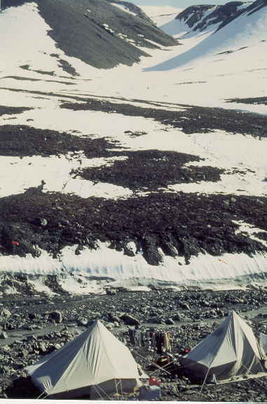
Geological Survey of Canada camp on Strand Fiord, western Axel Heiberg Island, summer 1983. | arctic28.jpg |
July 1983 |
|
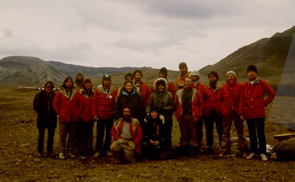
Geological Survey of Canada crew of 1983 expedition with some
University of Toronto students (Jeff, Steve, Martin) and post-docs (Jean, grey woolen hat). | arctic29.jpg |
July 1983 |
| Logistics: Twin Otter planes and Bell 206 helicopters | |
|
|
Twin Otter plane, just landed on the tundra of North of Hare Fiord.
Glaciers touching the sea across the Fiord.
| arctic21.jpg |
July 1989 |
|
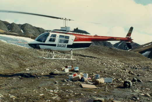
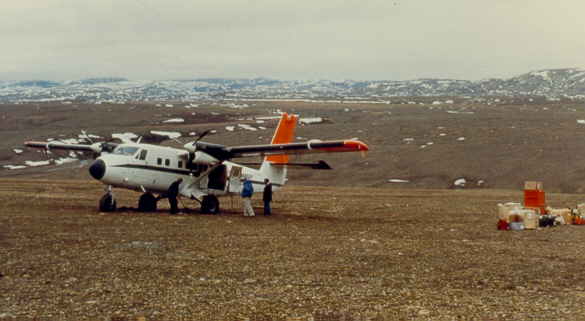
Helicopter, Bell 206, dropping camping gear, between Expedition and Strand Fiord. | arctic23.jpg |
July 1984 |
|
Helicopter, right, with floats, near Expedition Fiord. Waited 3 days before it could cross the ranges and pick us up.
Left half the equipment behind in the McGill University shack near the Expedition Glacier, the only
building of Axel Heiberg Island. | arctic24.jpg |
July 1988 |
|
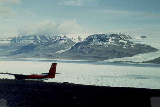
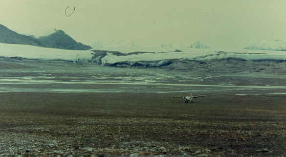
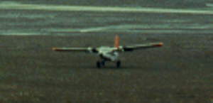
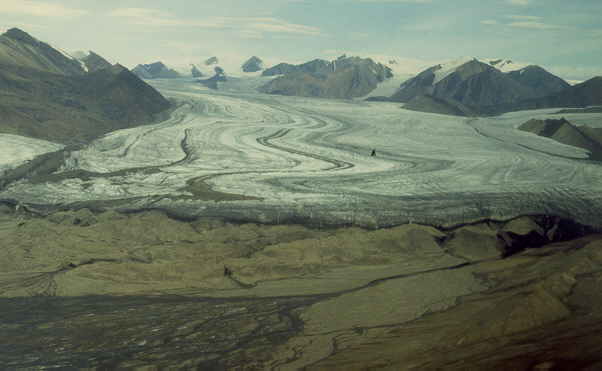
Twin Otter landing on the tundra at Expedition Fiord, in front of the main Expedition Glacier, about 10 km wide and 80 km long.
Distance to glacier is 6 km.
Detail of plane
| arctic25.jpg; arcti25l.jpg |
July 1984 |
|
Near Mokka Fiord, Twin Otter landed on the tundra, dropping camping gear. | arctic26.jpg |
June 1982 |
|
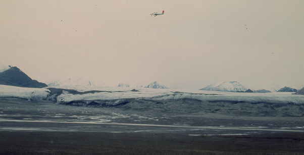
Near Expedition Fiord camp, with Twin Otter flying above Expedition glacier. | arctic32.jpg |
July 1984 |
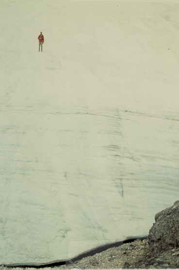
|
Expedition glacier, again. | arctic27.jpg |
July 1984 |
| Animals and plant life: Muskox, cariboe, hares, wolves, ... | |
|
|
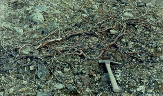
Largest tree seen in the area, around 1 meter long. | arctic54.jpg |
July 1982 |
|
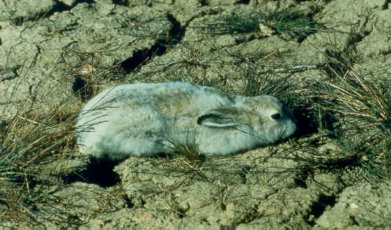
Young Arctic Hare, hiding. | arctic55.jpg |
July 1982 |
|
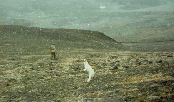
Arctic Hare, trying to escape from geologist (Jean), snow started to fall and one day later all covered up (30 cm) | arctic56.jpg |
June 1983 |
|
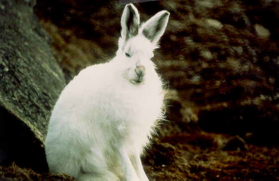
Arctic Hare, detail. | arctic57.jpg |
July 1983 |
|
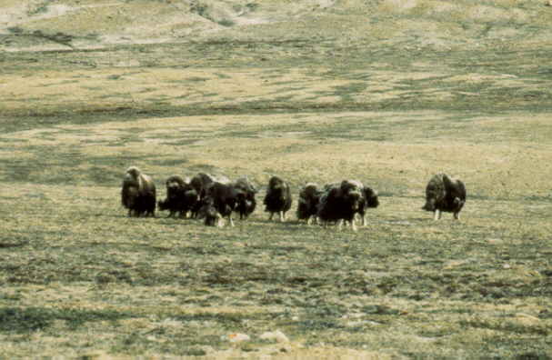
Muskox herd | arctic58.jpg |
July 1982 |
|
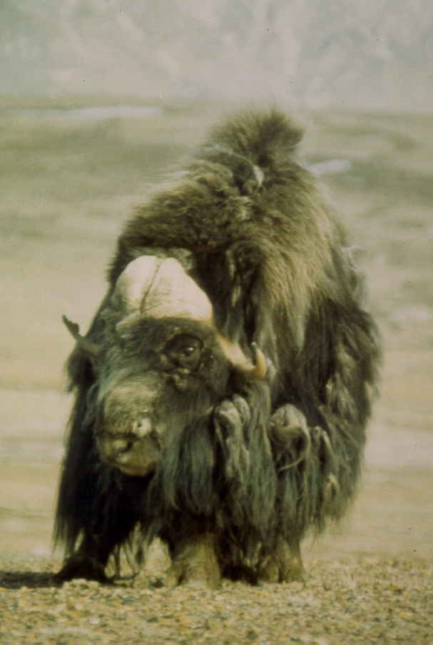
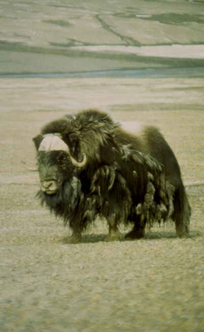
Muskox bull | arctic59.jpg |
July 1982 |
|
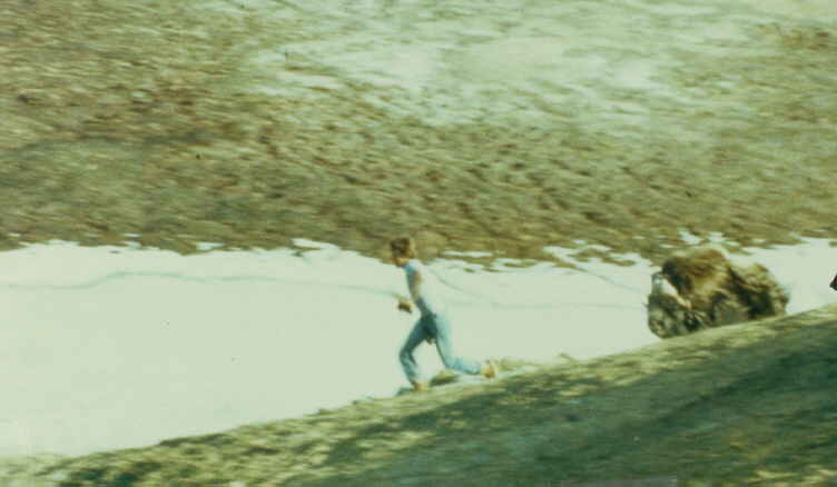
Steve chased by lone muskox bull. Picture enscenated, i.e. bull teased till it
would chase. Snow gully was supposed to be Steve's escape. | arctic60.jpg |
July 1983 |
|
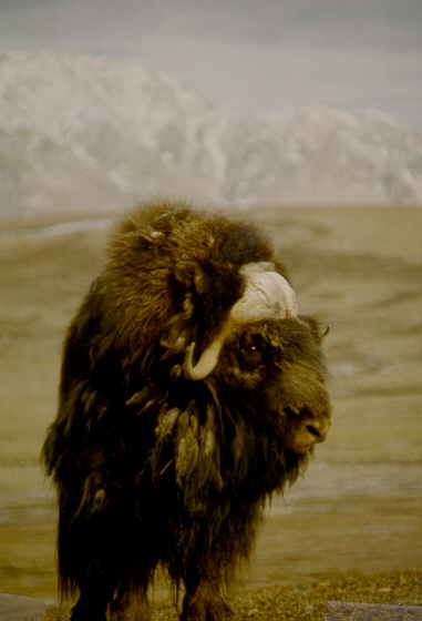
Lone muskox bull. | arctic61.jpg |
July 1982 |
|
Lone muskox bull. | arctic62.jpg |
July 1982 |
|
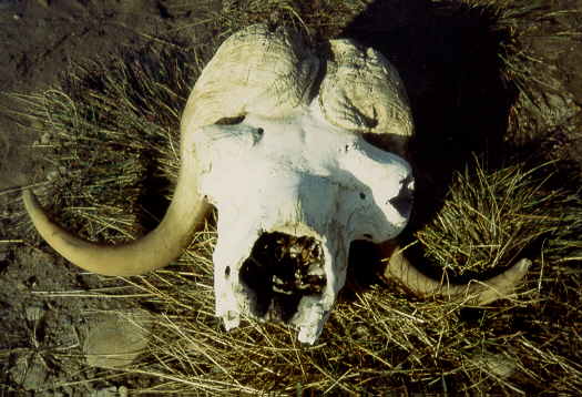
Muskox skull. | arctic63.jpg |
July 1983 |
|
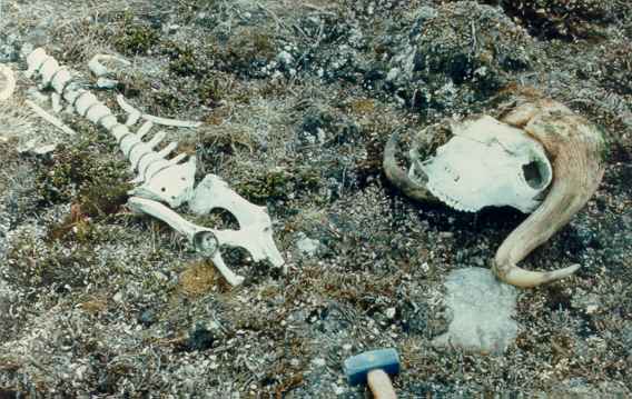
Muskox skeleton, skull and spine. | arctic200.jpg |
July 1983 |
|
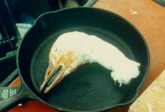
Snow geese. | arctic64.jpg |
July 1984 |
|
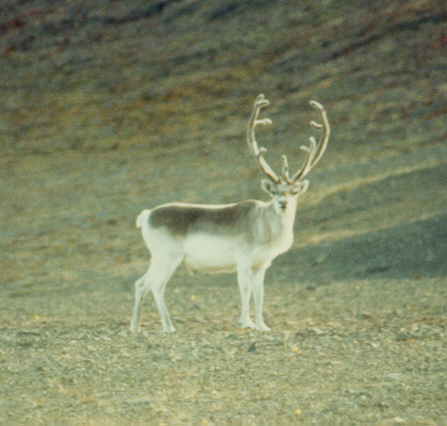
Male cariboe, with large antlers. | arctic65.jpg |
July 1982 |
|
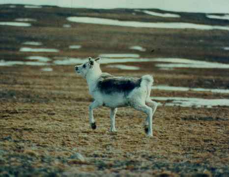
Female cariboe, very curious but now running away. | arctic201.jpg |
July 1982 |
|
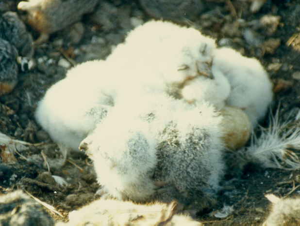
Nest with young snow owls. | arctic66.jpg |
July 1983 |
|
Nest with young snow owls. | arctic67.jpg |
July 1983 |
|
Nest with young Geier Falcons. Extremely rare birds. | arctic68.jpg |
July 1983 |
|
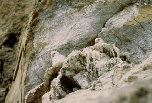
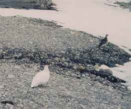
Ptamargans. | arctic203.jpg |
June 1983 |
|
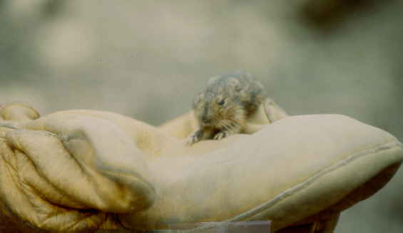
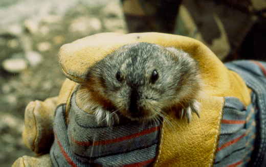
Young lemming. | arctic69.jpg |
July 1989 |
|
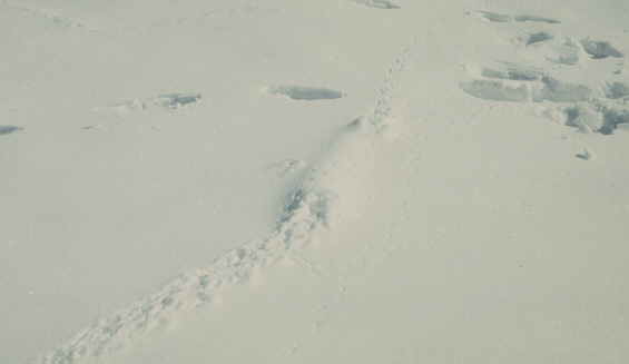
Lemming tracks and tunnel in snow. | arctic70.jpg |
July 1989 |
|
Mature lemming. | arctic71.jpg |
July 1984 |
|
North of Hare Fiord. Fried and student watching 4 wolves
(white dots, not visible) that circled the camp for a week. | arctic72.jpg |
July 1989 |
|
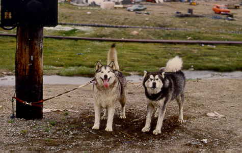
Huskies in Frobisher Bay (now called Iqualuit), Baffin Island. | arctic73.jpg |
June 1982 |
| Scenery, panorama, mountains, geologist playing, ..... | |
|
|
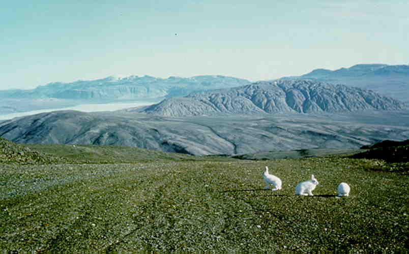
High Arctic, summer: Arctic hares on Axel Heiberg Island, in front of a Salt Dome (500 meter high mountain, 5 by 7 km).
| arcticra.jpg |
Jul 1982 |
|
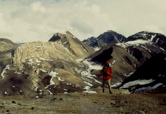
View at Mokka Fiord salt dome, some 15 km distance. | arctic19.jpg |
July 1988 |
|
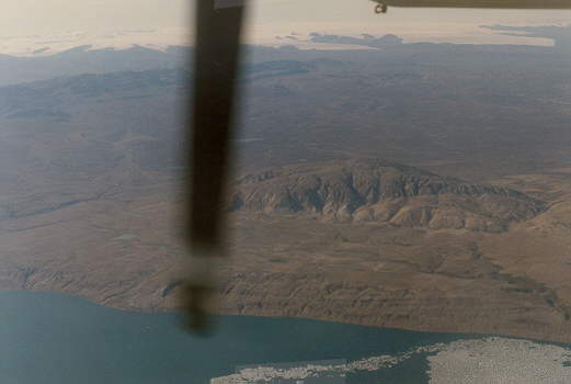
Mokka Fiord salt dome, view from a Twin Otter plane. Far distance main ice cap of Axel Heiberg Island.
| arctic20.jpg |
July 1982 |
|
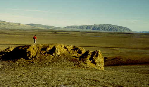
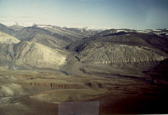
Deep valley in Mokka Fiord salt dome, Eastern Axel Heiberg Island. Student at work (left). | arctic87.jpg |
July 1988 |
|
Canadian High Arctic, summer: Glacier after heavy snow fall, near Hare Fiord, Northern Ellesmere Island, Arctic Canada. | aglacier.jpg |
Jul 1989 |
|
Canadian High Arctic: Glacier near Hare Fiord, Ellesmere Island, Arctic Canada. | avalley.jpg |
Jul 1989 |
|
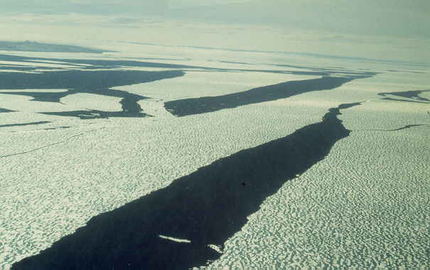
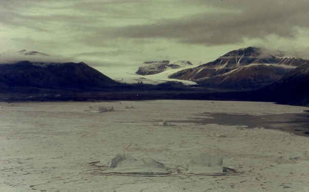
Large cracks in sea ice middle of July between Axel Heiberg Island and Ellesmere Island,
just before the sea ice break-up. | arctic13.jpg |
July 1982 |
|
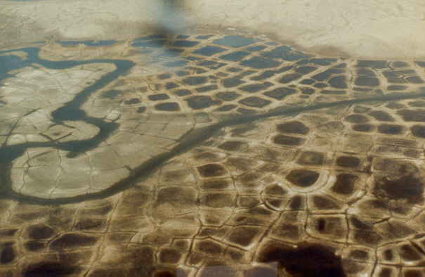
Polygons in the tundra, some are not hexagonal but square due to sloping hill near stream. | arctic14.jpg |
July 1982 |
|
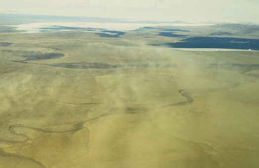
Sand storm in August. Such storms in the summer are responsible for
loess deposits, equivalent to those forming the loess of
Eurasia during the last Ice Age. | arctic17.jpg |
August 1988 |
|
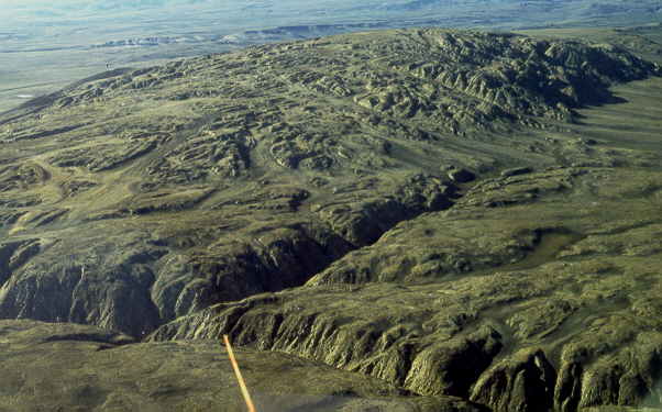
Gibs Fiord salt dome, view from a helicopter. Deepest valleys some 50 m high. | arctic33.jpg |
July 1988 |
|
Strand Fiord, Eastern Axel Heiberg Island, poor weather. | arctic34.jpg |
July 1983 |
|
Same, but good weather. | arctic35.jpg |
July 1983 |
|
Snow, snow, snow. | arctic46.jpg |
July 1989 |
|
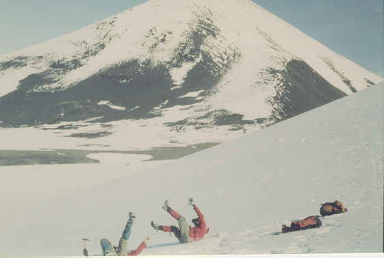
Jeff and Jean, rolling down the hill. | arctic47.jpg |
July 1989 |
|
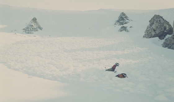
Avalanche, caught Jeff, the "Arctic Radio Phantom". | arctic48.jpg |
July 1989 |
|
Jeff and Steve during snow falling, bit bored. | arctic49.jpg |
July 1982 |
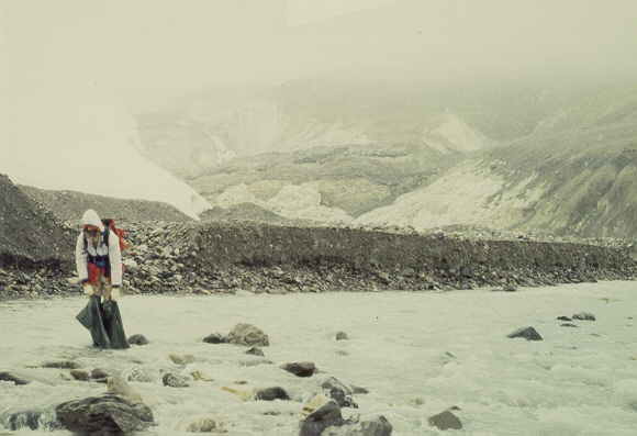
|
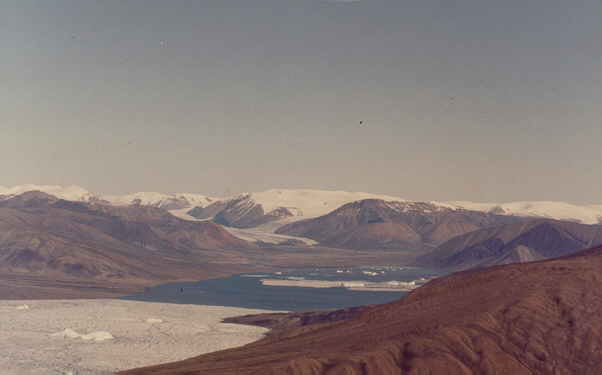
Matt at Otto Fiord, full of Ice Bergs and with many seals. | arctic50.jpg |
July 1989 |
|
Hare Fiord salt dome. | arctic79.jpg |
June 1988 |
|
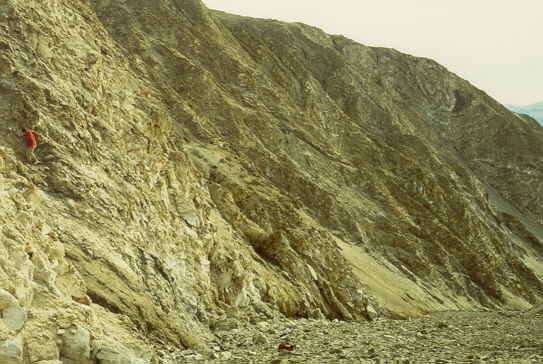
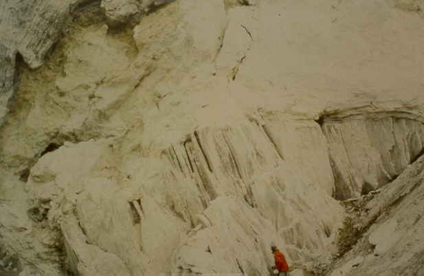
Hare Fiord Thrust Zone (white anhydrite rocks). | arctic80.jpg |
June 1988 |
|
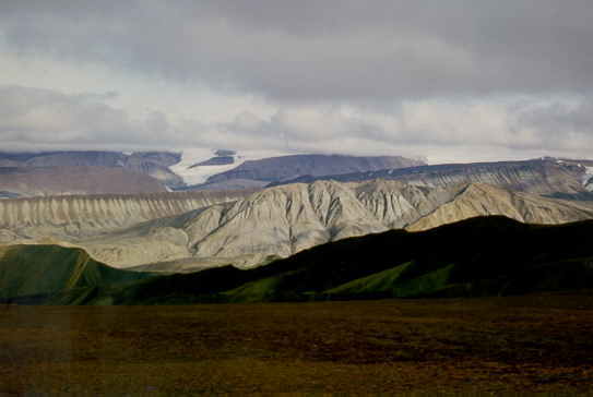
Western Axel Heiberg Island with salt ridge (light grey) and view towards main ice cap. | arctic88.jpg |
July 1983 |
|
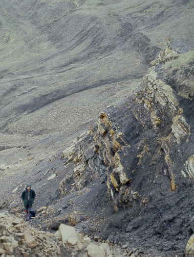
Salt dome, with exposed salt (near vertical layers), covered by anhydrite (white, powdery) | arctic74.jpg |
June 1983 |
|
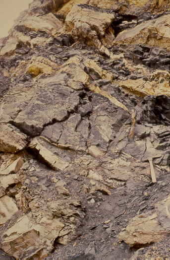
Thin anhydrite intrusions along fault zone in shales. | arctic75.jpg |
July 1984 |
|
Thin anhydrite intrusions along fault zone in shales, detail. | arctic76.jpg |
July 1984 |
| Camps life, during good and bad weather ... | |
|
|
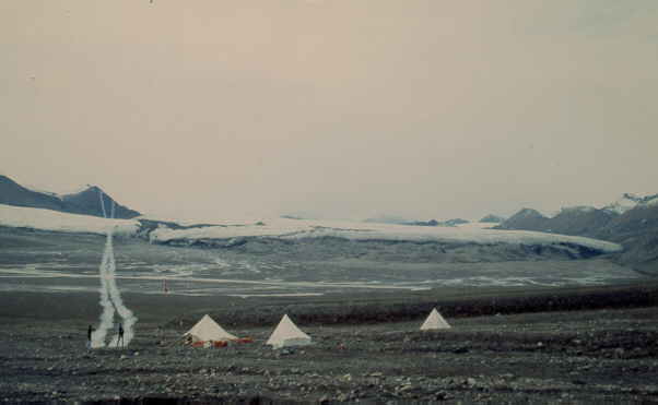
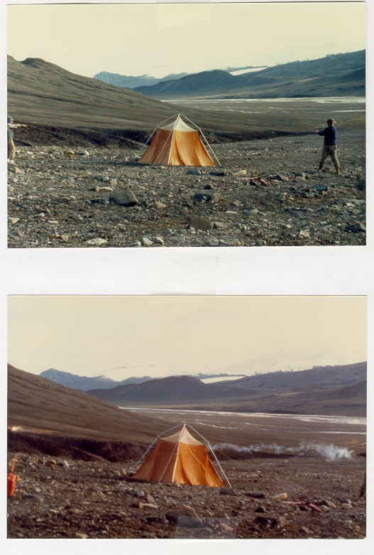
Expedition Fiord camp. Students playing hacky sack. Glacier about 10 km wide at 6 km distance. | arctic30.jpg |
July 1984 |
|
Same, shooting off parachute flares at the end of the season. | arctic31.jpg |
July 1984 |
|
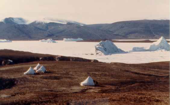
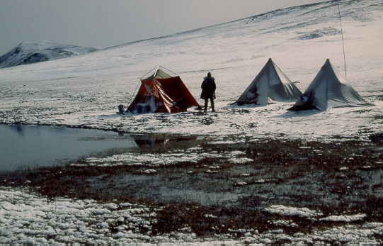
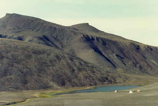
Camp on Expedition Fiord with icebergs. | arctic202.jpg |
July 1983 |
|
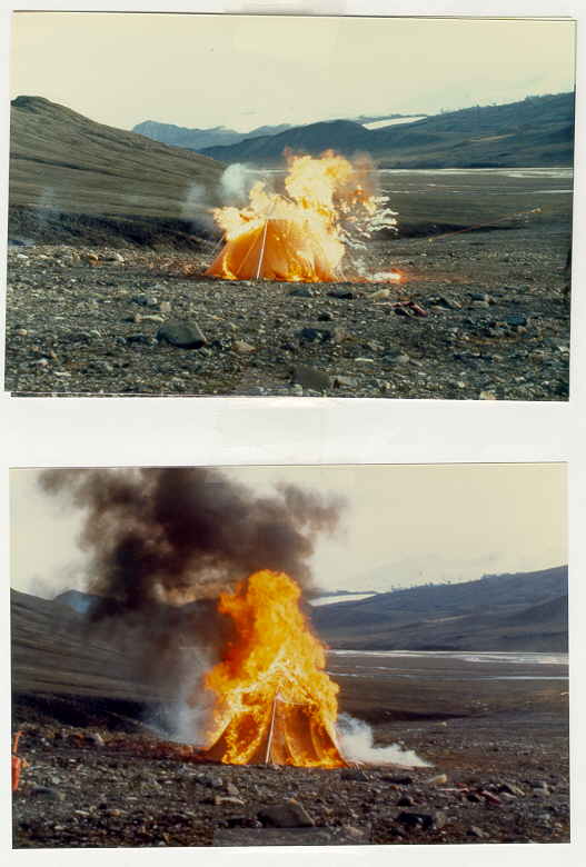
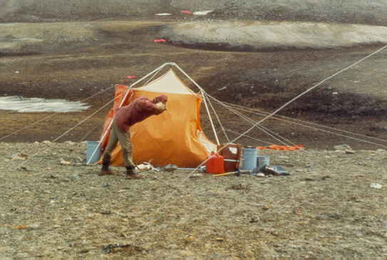
Torn up tent being burned with naphta and flares, sequence 1 and 2 of 4 pictures. | arctic38.jpg |
July 1984 |
|
Same, sequence 3 and 4 of 4 pictures. | arctic39.jpg |
July 1984 |
|
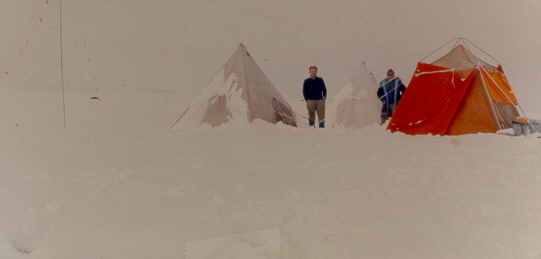
Camp west of Mokka Fiord, near the ice cap, bit of snow. | arctic40.jpg |
June 1983 |
|
Same, after a snow storm. | arctic41.jpg |
June 1983 |
|
Camp North of Hare Fiord, lots of snow. | arctic42.jpg |
July 1989 |
|
Same but nice day. Snow slay hill behind. | arctic43.jpg |
July 1989 |
|
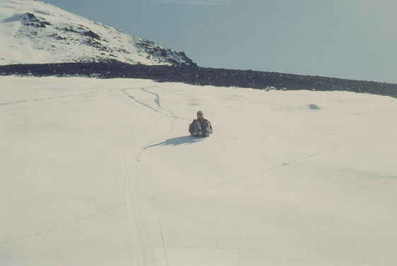
Jean on snow slay (plastic garbage bag), detail. | arctic44.jpg |
July 1989 |
|
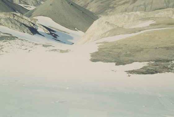
Jeff on snow slay (plastic garbage bag), going down, far distance (middle right), about to crash into a boulder. | arctic45.jpg |
July 1989 |
|
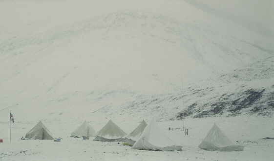
Snowy camp, North of Hare Fiord. | arctic51.jpg |
July 1989 |
|
Same. | arctic52.jpg |
July 1989 |
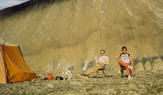
|
Nice day, around 8 degrees Celsius, Martin en Jean. | arctic53.jpg |
July 1982 |
|
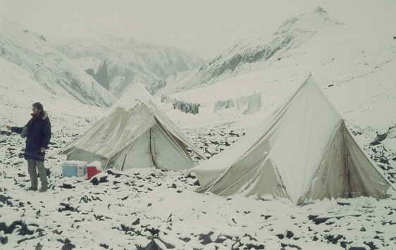
Camp between diabase sills (black) on Western Axel Heiberg Island, near Strand Fiord. | arctic85.jpg |
July 1983 |
|
Strong winds on Eastern Axel Heiberg Island. | arctic86.jpg |
July 1984 |
|
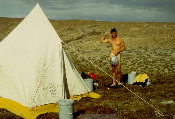
Summer for 1 week, 8 Debrees Celsius and ... shower time. | arctic81.jpg |
July 1988 |
| Geologists at work | |
|
|
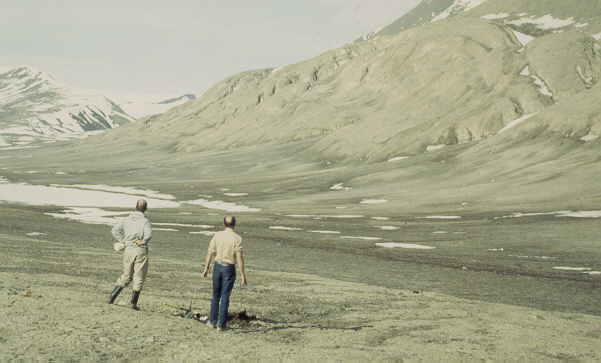
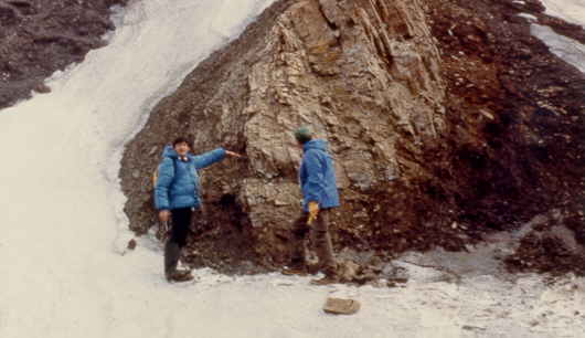
Geology Professors at work, Jean-Luc Bouchez (Nantes) and Fried Schwerdtner (Toronto).
| arctic01.jpg |
July 1982 |
|
Fried Schwertner on the sea ice of Hare Fiord. | arctic22.jpg |
June 1989 |
|
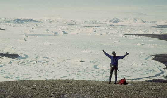
Tired geologist after spending a few weeks on Northern Ellemere Island | arctic02.jpg |
July 1984 |
|
On a glacier, South of Hare Fiord. | arctic83.jpg |
July 1988 |
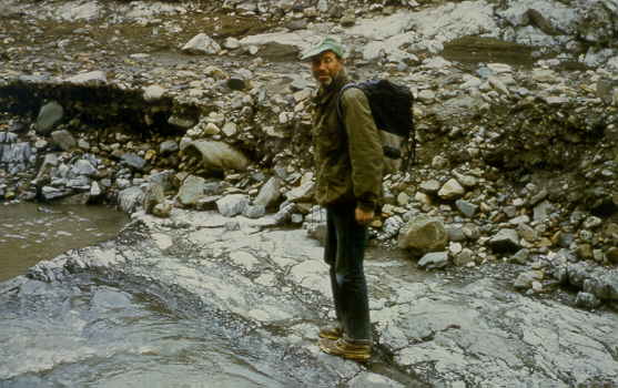
|
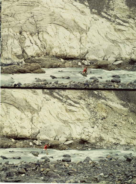
Crossing a glacial stream, South of Hare Fiord. | arctic82.jpg |
July 1988 |
|
Crossing a glacial stream, South of Hare Fiord. Top: looking. Bottom: jump. | arctic84.jpg |
July 1988 |
| Archeology: Innuit Culture, around 1400 AD | |
|
|
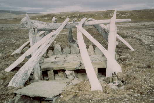
Innuit hut of the Thule Culture around 1400 AD, made of rock slabs and whale bones. | arctic05.jpg |
July 1982 |
|
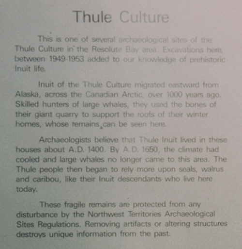
Explanation of the Inuit culture around 1400 AD. | arctic06.jpg |
July 1982 |
|
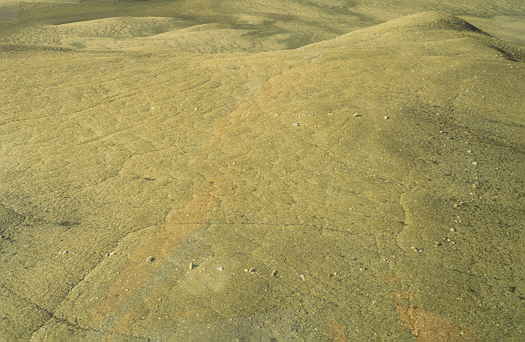
Rocks used as tent rings for Innuit summer camps on Eastern Axel Heiberg Island hunting for rabbits around 1000 - 1600 AD. | arctic18.jpg |
July 1988 |
|
Stones forming a semi-circle, used as a rabbit trap on Eastern Axel Heiberg Island. Innuit culture around 1000 - 1600 AD. | arctic15.jpg |
July 1982 |
| Art | |
|
|
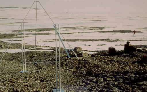
Magnetic art objects, giant compass and inclination meter made of aluminum. Magnetic
North Pole is only 100 km NW and compass and inclination meter was turning slowly
making full 360 turns every few minutes. | arctic10.jpg |
June 1989 |
|
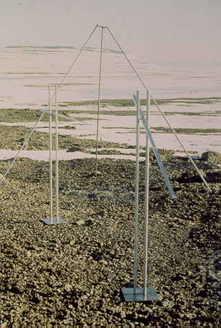
Same | arctic11.jpg |
June 1989 |
|
Same, with Fried Schwertner and students Matt, Jeff and ... | arctic12.jpg |
June 1989 |
| Guns, guns, guns, .... | |
|
|
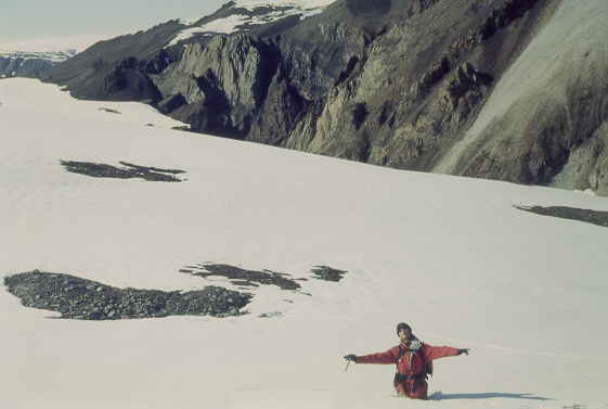
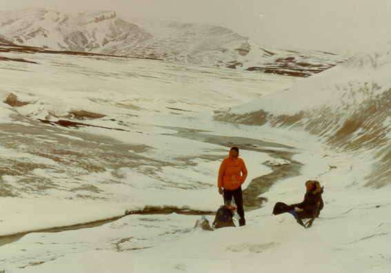
Snow storm on top of a mountain (in the clouds), Fried and Jean (heavily armed). | arctic77.jpg |
July 1982 |
|
Snow, snow, snow, Fried and Jean (heavily armed) on Eastern Axel Heiberg Island. Camp was 10 km too far East due to wrong Twin Otter landing. Average temperature -7 Celsius. | arctic78.jpg |
June 1983 |
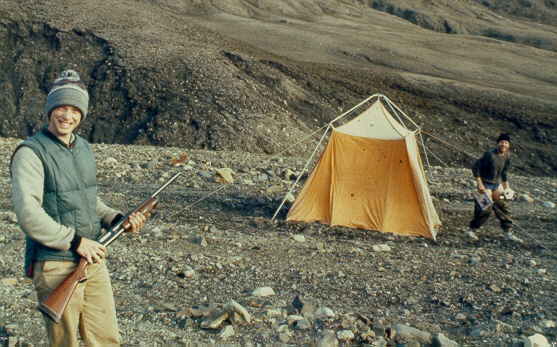
|
Barry and Jeff, playing with guns at Expedition Fiord. | arctic36.jpg |
July 1984 |