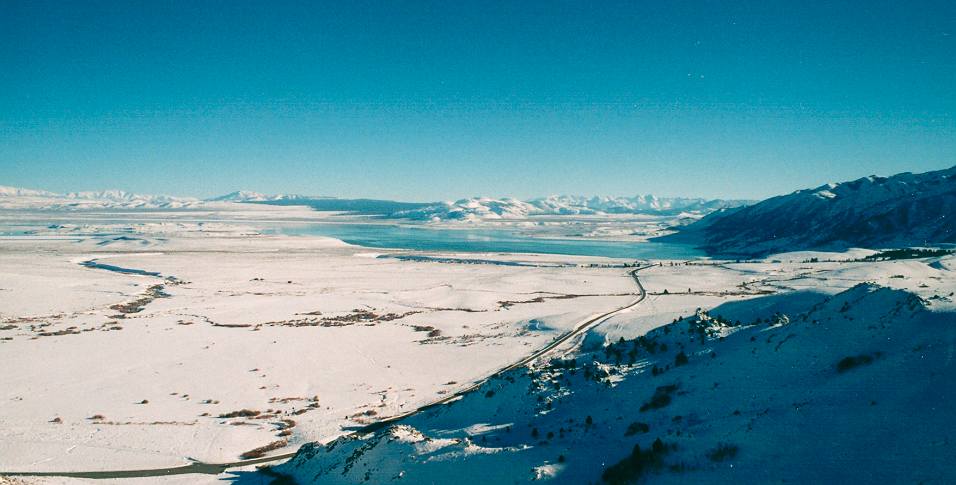
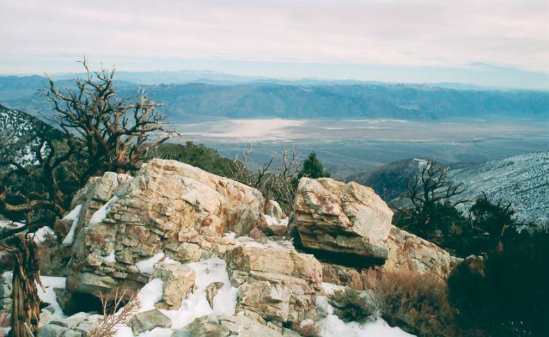
Nevada, volcanic belt South of Carson City, with alkaline lake.
Nevada,
volcanic belt South of Carson City, with alkaline lake.
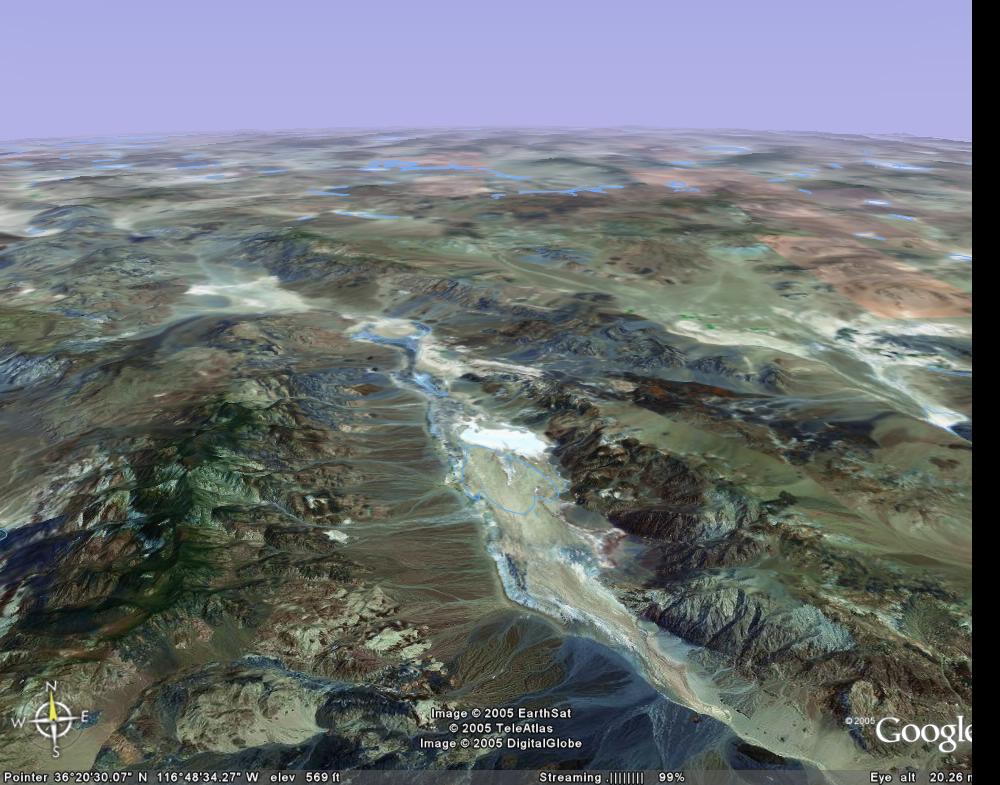
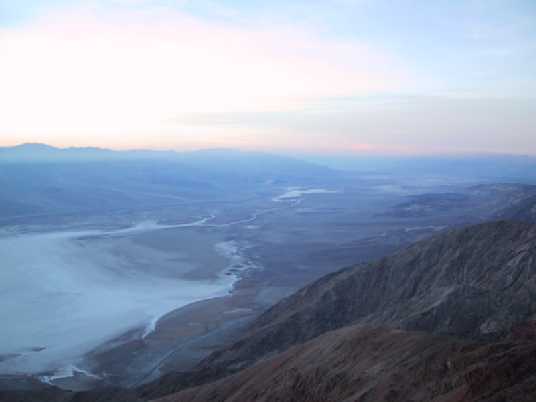
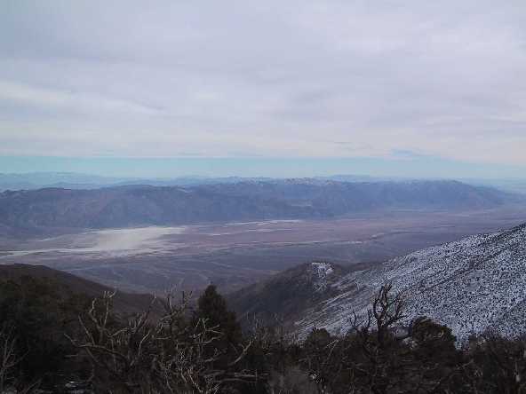
Death
Valley, view from the South. Furnace Creek in the centre. After
Google Earth. Click on picture for detail.
December 2002 trip around the Sierra Nevada in California and Nevada, from the snow covered Sierra Nevada to the dry area of Death Valley.
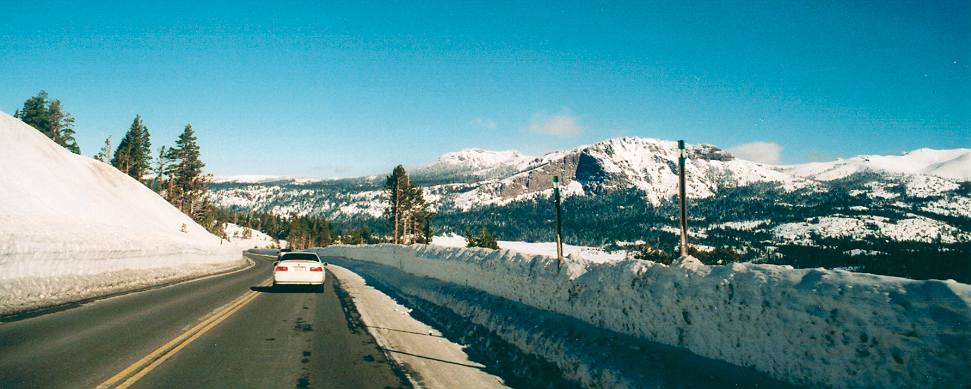
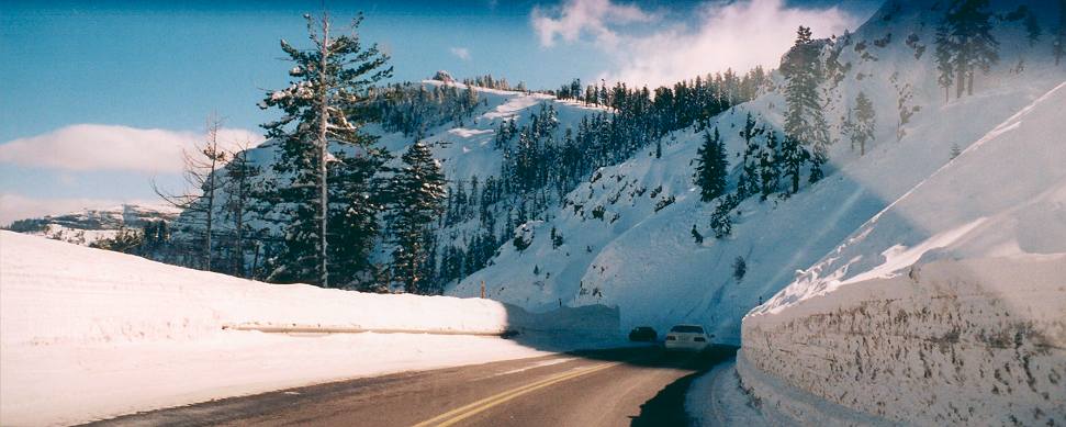
Across Sierra Nevada, along Highway 880, crossing a 2400 m pass (5 hours).
|
Nevada, volcanic belt South of Carson City, with alkaline lake. |
|
Sierra Nevada, Route 880, pass at 2500 m altitude with high snow |
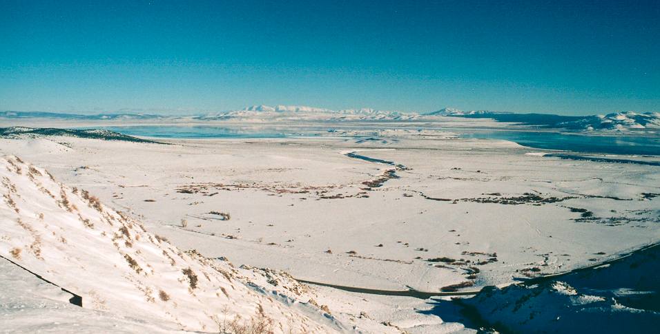
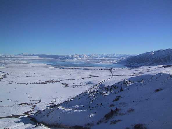
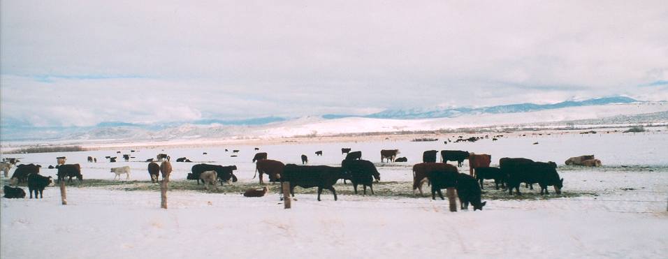
Highway 395 from Carson City to
Mammoth Lakes (-2 degrees Celsius (-20 to -10 at night), cabin.
|
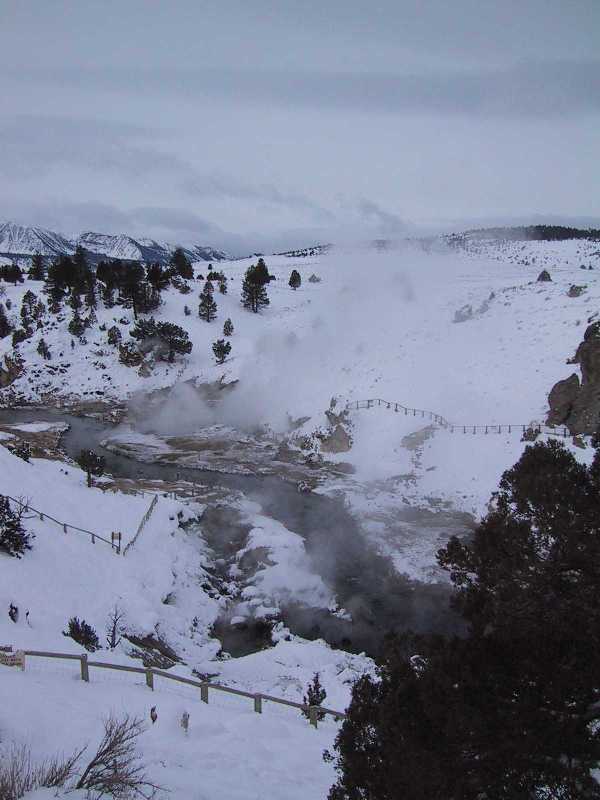
Hot Springs near Mammoth Lakes, Eastern Sierra Nevada. Temperatures from -20 to -10 Celsius |
|
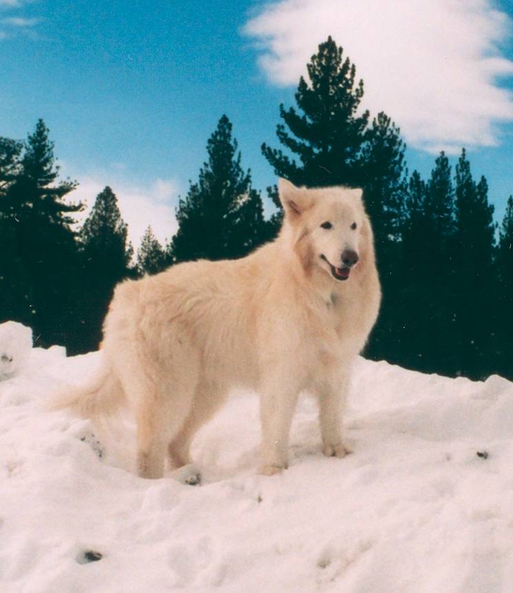
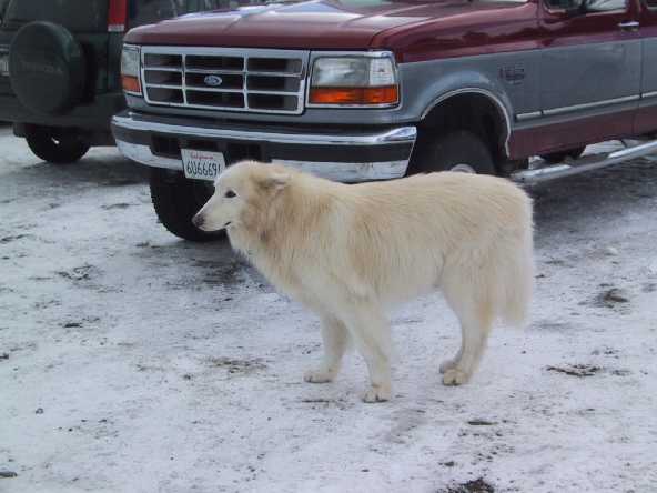
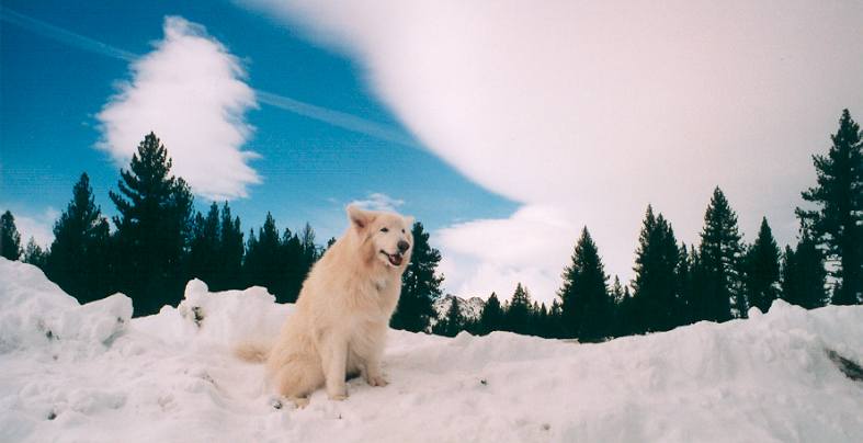
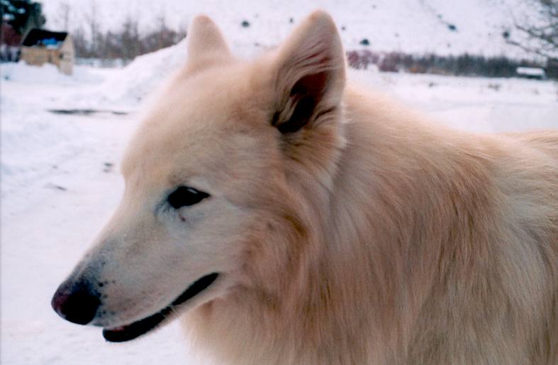
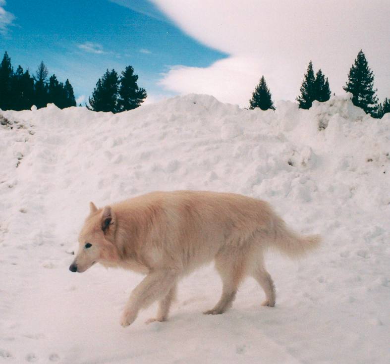
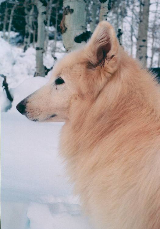
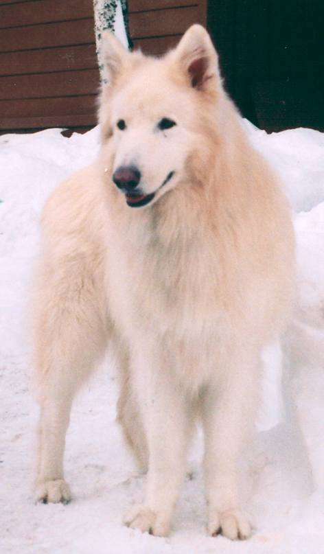
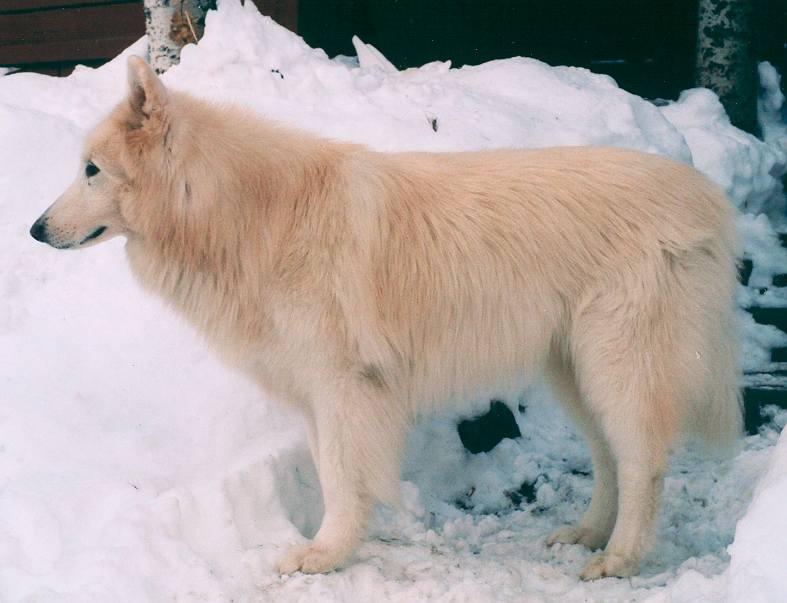
Arctic Wolf, 75% breed, 3rd generation. Kept by Jana Menard and Chris Stove of Lake Tahoe. |
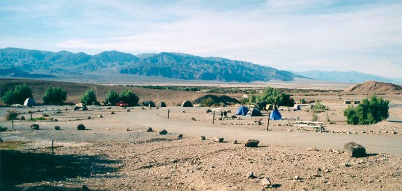
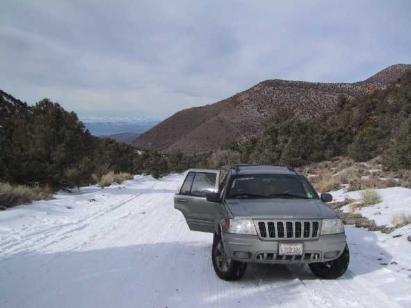
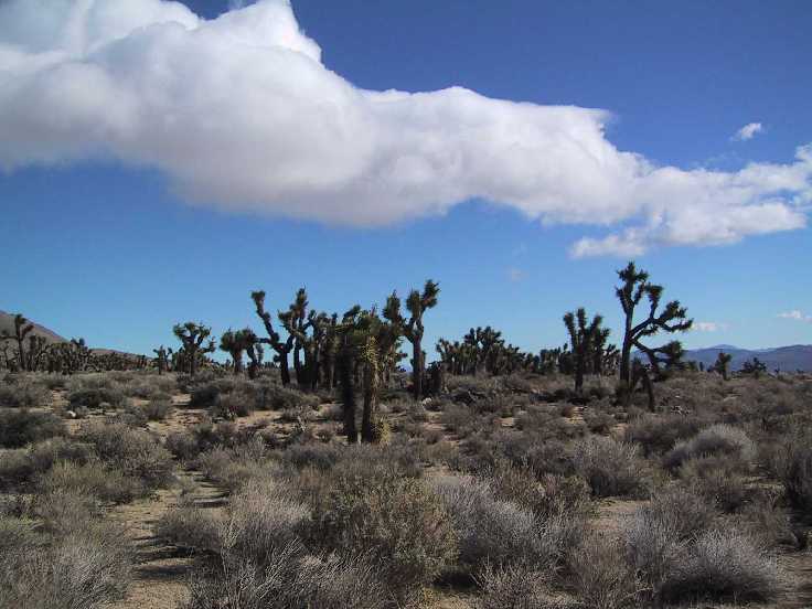
Highway 395 to Furnace Creek in
the Death Valey (4 hours), 14 degrees Celsius (2-10 at night),
camping.
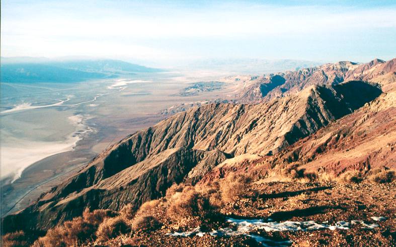
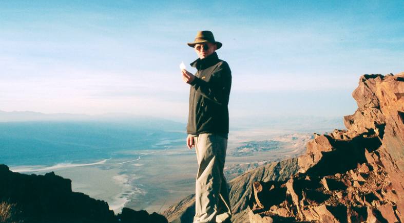
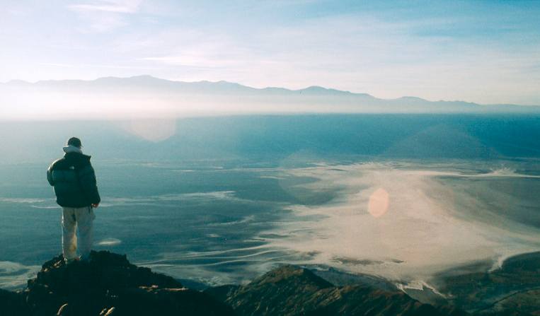
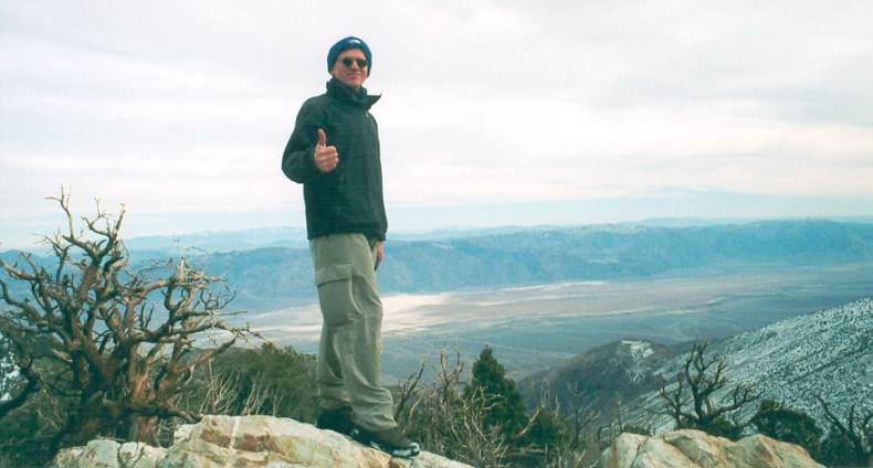
Death
Valley, view from Dantes View (1600 m)
|
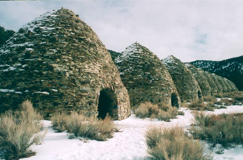
Killns (char coal furnaces) along access road to Wild Rose Peak at 2300 m, covered in snow. |
Highway 108 through Sequoia
Park to Bakersfield (5 hours), 8 degrees Celsius, car.
Freeway 5 to Pinnacles, South
of Monterey (3 hours), 10 degrees Celsius (-2 to +2 at night),
camping.
Back to Palo Alto
Mountain biking El Corte de Madeira, Palo Alto and Pine Mountain Loop (holy grail of mountain biking), Marin County, near mount Tam.
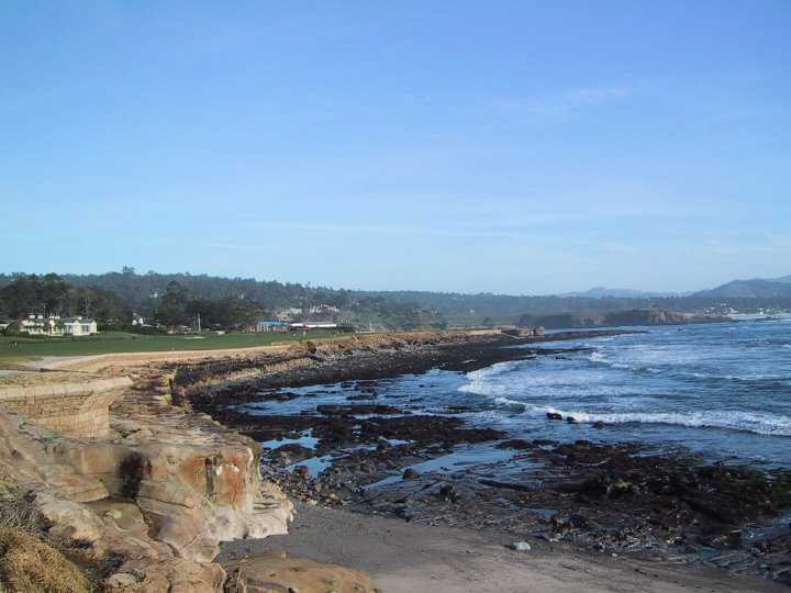
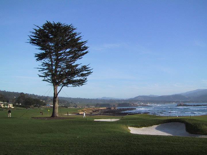
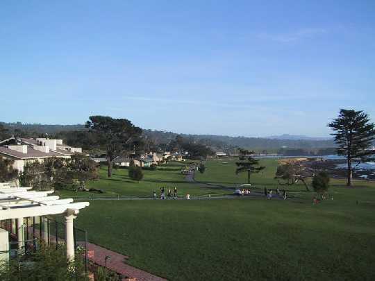
Golf at Pebble Beach (pictures only).